Mapping
See Your Site the Way the Data Sees It.
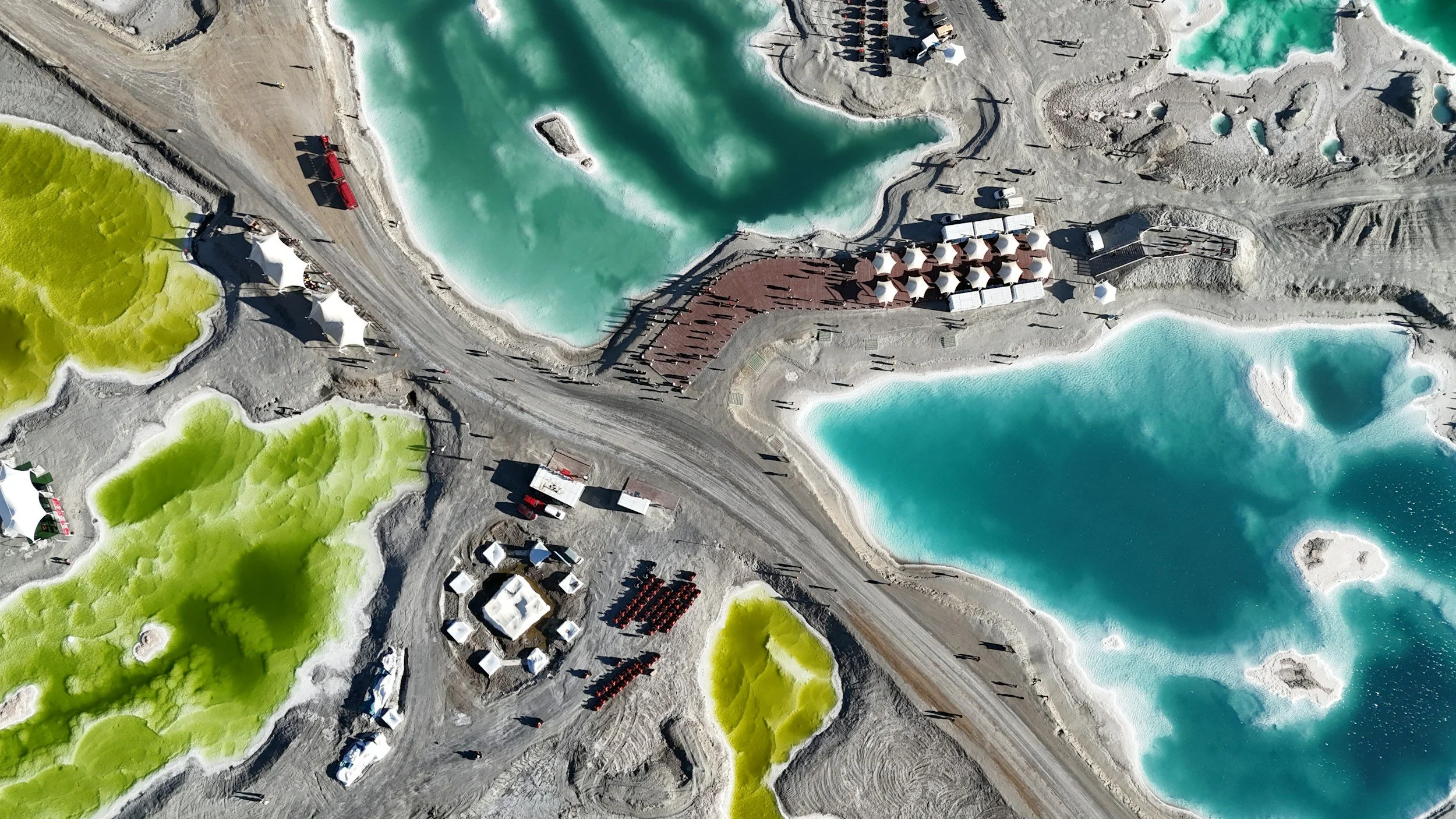
PropL produces high-accuracy aerial maps, orthomosaics, and 3D site models built for construction, land development, real estate, and project planning. Whether you need to track progress over time, calculate volumes, or hand a stakeholder a precise top-down view of an entire property, our mapping flights turn your site into clear, measurable, decision-ready imagery.
What You Get
High-resolution orthomosaic maps (top-down stitched imagery)
3D site models for visualization and planning
Volumetric measurements (stockpiles, excavation, fill)
Progress tracking with repeat flights over time
Deliverables compatible with industry-standard mapping and design software
Who It's For
Construction & site planning · Land development · Real estate (large parcels & subdivisions) · Surveying support · Agriculture · Progress documentation
How It Works
-

Mission Planning
We design the flight around your site, accuracy requirements, and deliverables
-

Flight & Data Capture
Automated flight paths ensure full coverage and consistency
-

Processing
Imagery stitched into maps, models, and measurements
-

Delivery
Files formatted for your team's software and workflow
A drone-mapped site gives you measurements, models, and visuals that ground surveys can't match — captured in a single flight instead of days of fieldwork. Whether you need a one-time baseline or repeat flights to track progress month over month, we deliver clean, accurate data your team can act on.